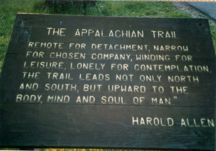
Photo Gallery
In the spring of 1985 my plans where to finish the Appalachian Trail starting in Damascus VA and finished at the terminus at Mt. Katahdin ME. I had completed the southern end from Damascus VA to Springer Mt. GA over two earlier trips, and felt ready to tackle the remainder.
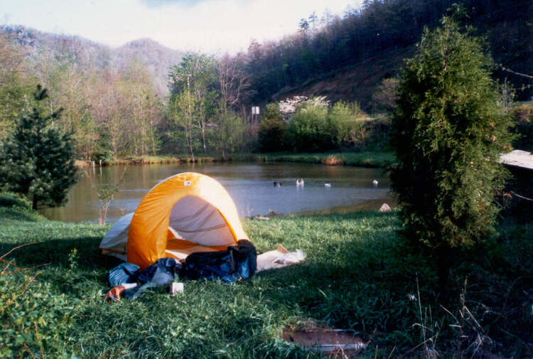
On April 8th, my Mom and girlfriend drove me to Damascus and saw me off. It was a very cool, cloudy and windy day. The first miles were up hill, the pack was extremely heavy as I had 8 days of food to get me to Bland VA. I had purchased new leather boots and within 1 mile I had a blister on the back of my heal. Later that afternoon the weather changed, it got colder. In the middle of the night I woke up with the tent in my face. I figured a stake had pulled out, but no the snow had collapsed it down on top of me. The next day began with 4 inches of snow but that changed as I climbed Whitetop Mt as it got deeper and it was up to my knees. At the top I remember stepping off into a snow drift up to my hips. I found a spot in the trees and stomped out a tent platform, set up my tent and crawled in. I made supper, and filled my water bottles up with boiling water and climbed into my sleeping bag to get warm.
The next day dawned clear but cold. Snow was still on the trail as I passed by Mt. Rogers, the highest point in VA, but was melting fast in the sun. At a rest stop I lost my camera, but didn‘t notice it missing for a few hours and never when back to find it. So I didn‘t have any photos of my trip until I got another one in Pearisburg VA. By late afternoon the trail was only wet, as the snow had melted and I was able to make better miles. The next day I was only in shorts as it had warmed but dramatically from the cold and snow only a few days ago. After passing my Walker Mt and Garden Mt I made it to Bland VA, 121 miles from Damascus, where I resupplied and shared a motel room with another hiker, the only one I had seen since I left Damascus.
Leaving Bland it was 45 miles to Pearisburg VA. I remember Angles Rest at Pearis Mt. being very scenic. I stayed at a Catholic Hostel there and met another thru-hiker Craig, who later finished the trail in August.
With my new camera, that someone gave me, I started the 95 miles to Daleville VA where the trail crosses I-81 and starts up the Shenandoah valley. On the way there I had great climbs with views, Dragons Tooth, McAfree Knob and Tinker Cliffs, now known as the VA triple Crown, as well as from the cliffs above Daleville looking into the valley. In Daleville I got a hotel and ate lunch at Burger King. I then had to walk 3 miles to the Post Office to get my food package that my Mom mailed to me. When I arrived, they said they couldn‘t find it. Turns out I had gone to the wrong Post Office, my package was 4 miles away at the correct Post Office. So my day off so spent hiking another 7 miles. This and a previous incident made me stop sending resupply packages on future trips and just use local stores.
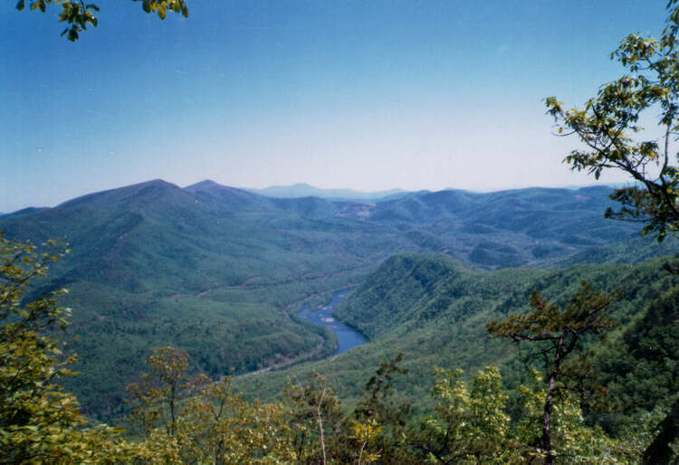
The next 130 mile trail segment is where the trail parallels the Blue Ridge Parkway until it reaches Waynesboro VA. On the way you cross the James River have great views of the Peaks of Otter and the valley below. I crossed Thunder Hill Mt. and after that the trail drops down and crosses the James River at US 501 near Big Island VA. After that you climb back up and pass over Bluff Mt. Over the next days you climb Priest Mt, drop down and cross the Tye River and climb back up and over Three Ridges Mountain, continue over Humpback Mt and finally make it to Rockfish Gap at Waynesboro VA. I got a ride into town and stayed at the Fire Department. They let me was clothes and camp out. I met another hiker from a previous hike the year before there as well.
The next part is in the beautiful Shenandoah National Park for 100 miles until you reach Front Royal VA. The trail in the park is very well maintained and there are shelters and plently of camping spots. The views are great and there places where you can resupply and eat. I had some nice ladies that shared some fried chicken with me one day. I met Norm Sills who wrote the the MA-CT AT guide book. He was finishing up a section of the trail and invited me to stay at his home when I passed through Salisbury CT on the trail. We walked into Front Royal and the first thing we saw was a McDonalds, so we had to stop for that. After getting a motel and shower we had supper at a nice restaurant.
I could not get a ride out of Front Royal so I hiked the 3 miles back to the trail, then hiked the rolling hills to Harpers Ferry WV beside the Shenandoah River. Harper‘s Ferry is the home of the Appalachian Trail Conservacy the spiritual halfway point of the Appalachian Trail. Hikers get their photo taken and cataloged into their system. After resupply the trail uses the C&O Canal Towpath, that runs beside the Patomac River, for a few miles then goes over Weverton Cliffs and passes by the Washington Monument before crossing I-70.
After reaching the PA-MD stateline my left ankle started giving me issues to the point I could hardly walk. I took a few days off at Mackie Run Shelter but it never got better. So I decided to call it quits and I got a ride to Waynesboro PA and took a bus home.
In review, I loved hiking Virginia. It had such a variety of terrian and is a beautiful state from one end to the other. Even though I didn't make my goal I enjoyed every day of this hike as I learned so much more about long distance hiking on this trip.
Photo Gallery
Resupply Schedule
Pre-Trip Article
Post-Trip Article